Flood Risk Assessment for your project

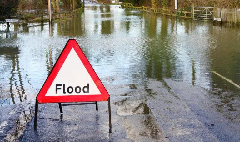
A Flood Risk Assessment (FRA) is a comprehensive evaluation designed to identify and mitigate the risks of flooding to people, property, and the environment. This assessment is essential for developments in areas prone to flooding or those located near rivers, coastal regions, or other bodies of water.
The FRA involves a detailed analysis of historical flood data, the local topography, existing drainage systems, and the potential impact of climate change. It assesses both the likelihood and consequences of various types of flooding, including fluvial (river), pluvial (surface water), and coastal flooding.
As part of the assessment, strategies to reduce flood risk are developed, such as sustainable drainage systems (SuDS), flood barriers, and landscape adjustments. The FRA also considers emergency planning, ensuring that appropriate measures are in place to protect occupants and minimise damage in the event of a flood.
A FRA is a critical component of planning applications and is often required by local authorities to ensure that new developments are safe and sustainable. By identifying potential flood risks and recommending effective mitigation strategies, a well-prepared FRA helps safeguard communities and supports resilient development.
Office: 90 Coronation Street, Sunderland, Tyne and Wear, SR1 2HE
Call 01256 807116
Email: martin.young@thedrainagedesigners.co.uk
Site: thedrainagedesigners.co.uk
